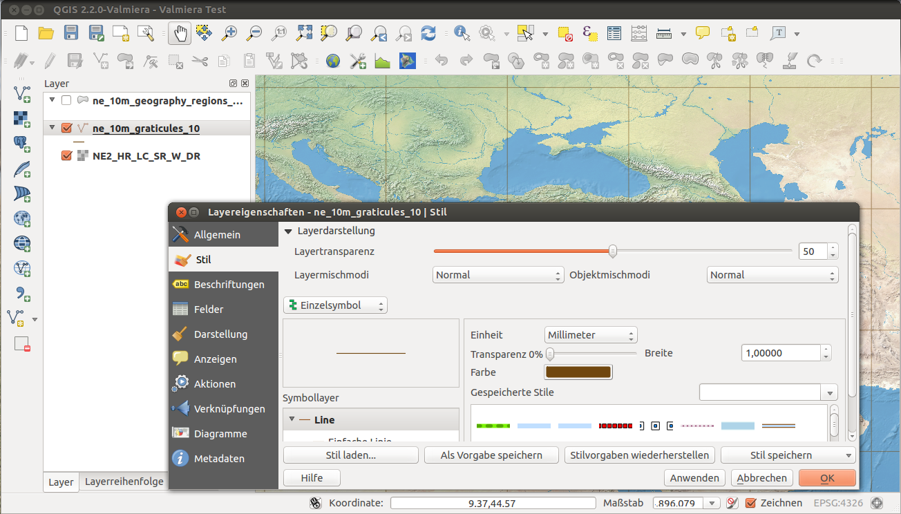
QGIS
QGIS is a free and open-source cross-platform desktop geographic information system (GIS) application that supports viewing, editing, and analysis of geospatial data.
It can be used to display maps, 3D buildings or simulation results, for example from CSV files output by SimStadt.